From the Bell Tower to Yangshan: A Walk Along Beijing’s Northern Central Axis
Meta Description: Explore Beijing’s Northern Central Axis on foot—from the ancient Bell Tower to Yangshan in Olympic Forest Park. Discover hidden temples, Yuan Dynasty ruins, and modern marvels in this 1500-word walking guide.
Introduction: Rediscovering Beijing’s Hidden Spine
There’s a peculiar kind of magic in rediscovering the city you thought you knew. For twenty years, I’d zipped past Beijing’s Northern Central Axis in taxis, buses, and subway cars—always moving, always glancing, never truly seeing. The landmarks blurred into the background of daily commutes, familiar yet invisible.
Then came the 2024 National Day holiday. While my friends scattered to the winds—some marching along the Great Wall at Pingxingguan, others trekking through western Sichuan and the southern Taihang Mountains—I found myself with just three free days. Too short for grand adventures, but just right for something closer to home.
I decided to walk. Not just any walk, but a pilgrimage along Beijing’s Northern Central Axis, from the ancient Bell Tower all the way to Yangshan in Olympic Forest Park. What I discovered wasn’t just a route on a map—it was a living timeline of China’s journey from imperial grandeur to modern glory.
The Backbone of a City: Understanding Beijing’s Northern Central Axis
Let’s start with context. Beijing’s Northern Central Axis extends the city’s historic spine—the line running from Yongding Gate to the Bell and Drum Towers—northward into the 21st century. It all began in 1984, when Beijing won the bid to host the 11th Asian Games. The city needed a grand boulevard connecting the Second Ring Road to the Fourth Ring Road, linking the ancient heart of the capital to the newly planned Asian Games Village.
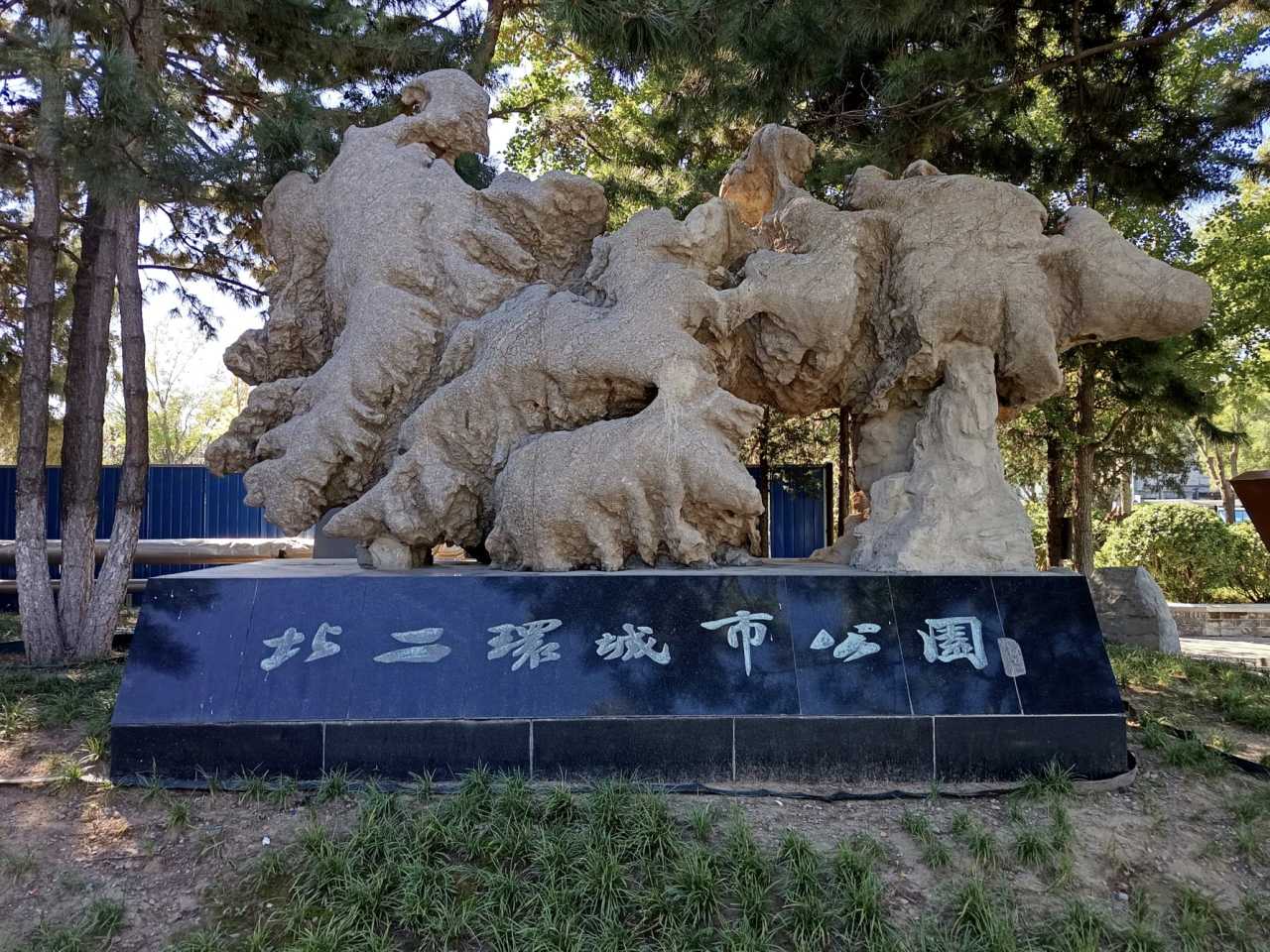
The 2008 Olympics took it further. With the construction of Olympic Park, the axis stretched all the way to the Fifth Ring Road. What emerged was more than a road—it was a statement. A seamless bridge between dynastic history and contemporary ambition.
For three decades, this corridor has evolved into a showcase of national pride. Yet here I was, a Beijing resident of twenty years, finally deciding to explore it on foot.
[Link: Beijing Central Axis UNESCO World Heritage status]
Day One: From Bell Tower to Olympic Sports Center
Where History Meets the Modern World
I started my journey on October 1st, after watching the Tiananmen flag-raising ceremony live from my phone. A quick breakfast, a bus ride to the Bell and Drum Towers, and I was ready.

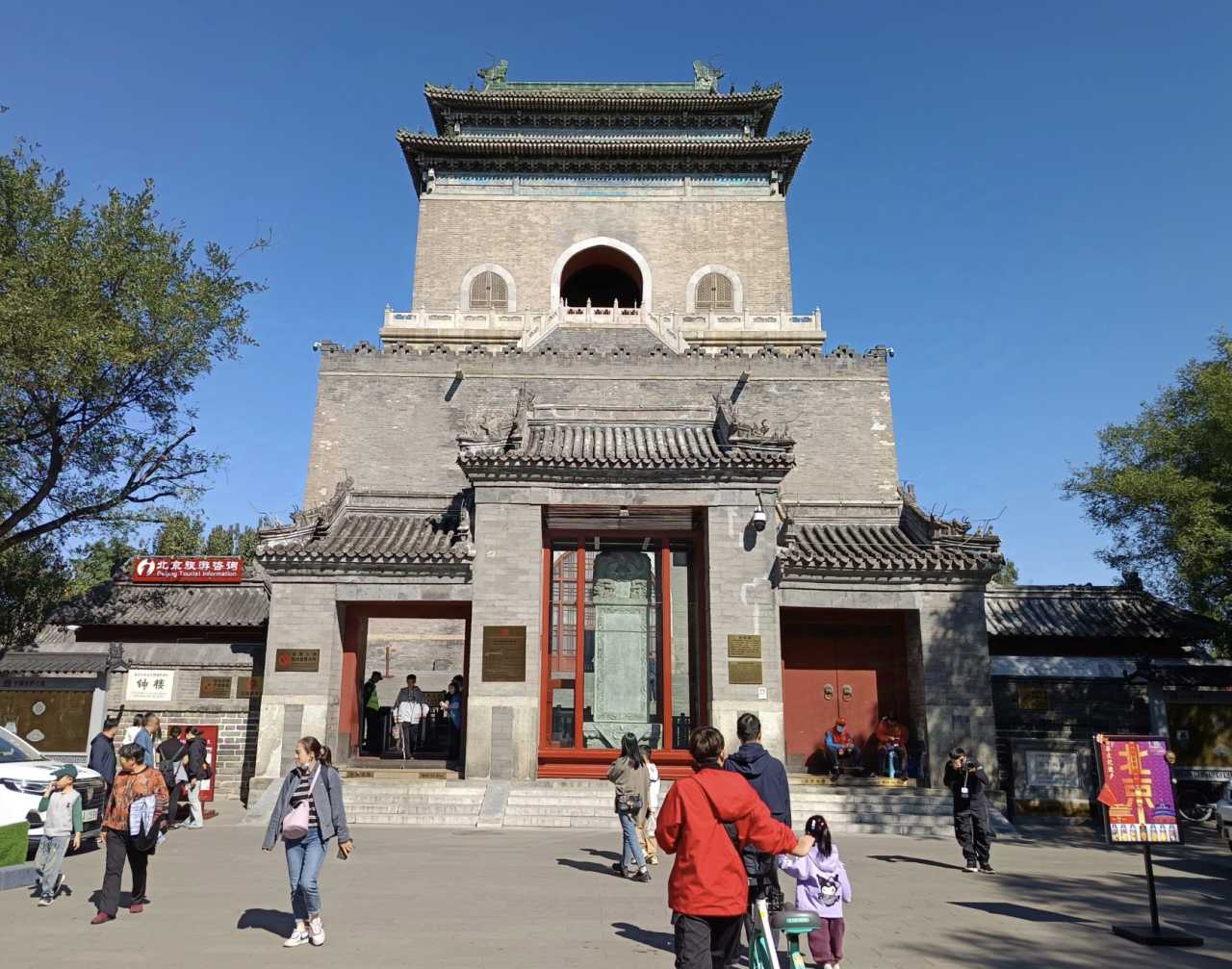
The Bell Tower marks the northern terminus of Beijing’s historic axis. But there’s no straight shot from here to the modern axis—the old city’s hutong networks intervene. So my walk began at the northern wall of the Bell Tower, threading through a maze of narrow lanes: Zhonglouwan (“Bell Tower Bend”), Doufuchi (“Tofu Pond”), Zhangwang (“Watchman”), Guoxing (“Fruit Pass”), Guowang (“King Pass”), Guoxiang (“Alley Pass”), Guosheng (“Victory Pass”), Yuge (“Jade Pavilion”), and Zhongtao (“Central Peach”). Each name carries its own story.
At the intersection of Zhonglouwan and Doufuchi hutongs stands the Hong’en Temple, a site with layers of history. Originally built as the Thousand Buddha Temple during the Yuan Dynasty (1295–1297), it was positioned at the northern end of the Yuan capital’s central axis—a spiritual guardian called the “Dragon’s Tail.” In the Qing Dynasty, it was converted into a retirement home for eunuchs. Today, it houses Beijing’s Central Axis Post Office.
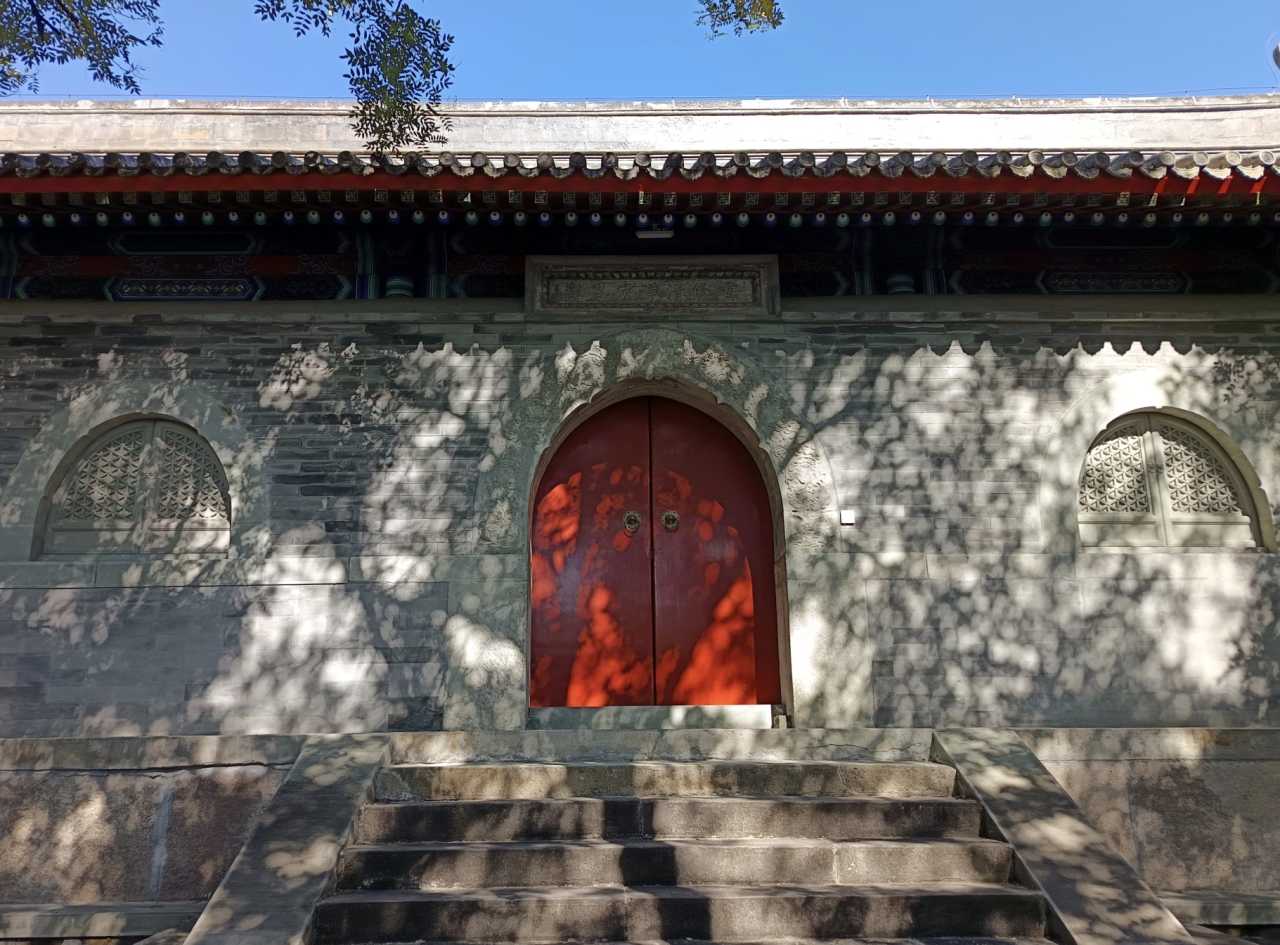
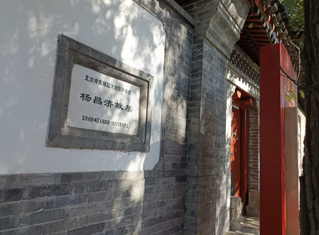
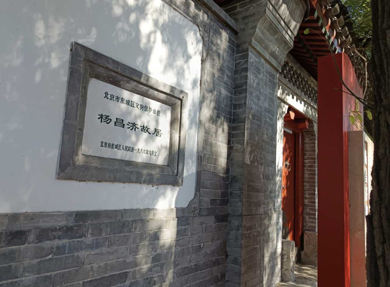
Just outside the temple gate lies Doufuchi Hutong, named for a Chen family that made tofu here during the Ming Dynasty. Number 15 is the former home of Yang Changji, a professor at Peking University. In 1918, a young Mao Zedong lived here while organizing work-study programs in France. It was here that Mao met Yang Kaihui, his future wife, and where Yang Changji introduced him to Li Dazhao—a meeting that would change Chinese history.
The Narrowest Park and a Compass of Destiny
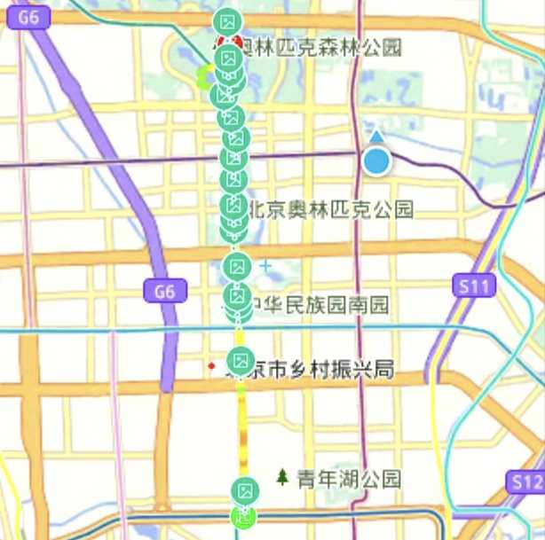
The North Second Ring Road City Park is officially Beijing’s narrowest park. Stretching from Old Drum Tower Street to Yonghegong Bridge, it’s a ribbon of green along the moat. At its heart stands a striking sculpture: Sinan, the ancient Chinese compass.
This isn’t just any compass. The Sinan—a ladle-shaped magnetic pointer on a bronze plate—is the precursor to the compass, one of China’s Four Great Inventions. The sculpture’s giant ladle points south, just as the Han Dynasty philosopher Wang Chong described in his Lunheng (“Balanced Discourses”). In 2008, this very image appeared in the Beijing Olympics opening ceremony, symbolizing the fusion of ancient wisdom and modern achievement.
The Mysterious Monastery: Xihuang Temple
Crossing the North Second Ring Road, I looked north and saw the Olympic Tower in the distance—my ultimate destination. But first, a detour.
Xihuang Temple, at 11 Huangsi Street, is often called Beijing’s most mysterious and hardest-to-visit attraction. It’s only open on weekends, and for good reason. This Qing Dynasty imperial temple was built in 1652 to welcome the Fifth Dalai Lama to Beijing. Later, it became the residence of the Sixth Panchen Lama, who died here in 1780 while celebrating Emperor Qianlong’s birthday.
The temple complex is a masterpiece of Tibetan Buddhist architecture. The main hall, originally seven bays wide, was burned down by the Eight Allied Forces in 1900 and rebuilt as five bays in 1924. Inside, the ceiling is painted with mandalas, and the hall houses thrones for successive Panchen Lamas.
The centerpiece is the Qingjing Huacheng Pagoda, built in 1781 to honor the Sixth Panchen Lama. This white marble structure combines Tibetan and Han architectural styles: a central stupa surrounded by four smaller pagodas, guarded by stone lions. The base is carved with scenes from Buddhist scripture and adorned with flying apsaras.
Today, Xihuang Temple also houses the China Tibetan Language Advanced Buddhist Academy and a museum showcasing Tibetan Buddhist culture. Exhibits include the history of the Dalai and Panchen Lamas, the Liangzhou Treaty, and the life of the Sixth Panchen Lama. It’s a quiet, sacred space that speaks volumes about China’s ethnic unity.
[Link: Top Tibetan Buddhist temples in Beijing]
The Yuan Dynasty Wall: A Forgotten Capital
Back on the main road, I crossed the North Third Ring Road and entered Beichen Road. Soon I reached the Xiaoyue River, where a earthen wall runs east-west. This is the remnants of the Yuan Dynasty city wall—older than the Ming and Qing walls that define modern Beijing.
Here’s the fascinating part: the road I was walking—Gulou Outer Street and Beichen Road—follows the exact line of the Yuan Dynasty’s central axis. The Yuan capital, Dadu, was built by Kublai Khan between 1267 and 1285. Its northern wall was abandoned when the Ming Dynasty moved the city wall south by five li (about 2.5 kilometers) in 1368. What remains is a 12-kilometer-long park, the largest linear green space in Beijing.
The Yuan Dynasty City Wall Heritage Park is divided into 19 scenic areas. Highlights include the “Jimen Yanshu” (a misty landscape of ancient trees) and the “Dadu Prosperity” sculpture group, which depicts Kublai Khan on an elephant throne, surrounded by officials, generals, and foreign envoys like Marco Polo. The “Double Capital Tour” relief shows the emperor’s annual journey between Dadu and Shangdu, blending grassland and Han Chinese artistic traditions.
In spring, the park’s “Crabapple Flower Creek” becomes a sea of pink and white blossoms—one of Beijing’s most photographed scenes.
Harmony and the Olympic Gateway
Emerging from the park, I reached the Harmony Que—a pair of ceremonial gates marking the southern entrance to Olympic Park. Fifty-six “national flowers” surround the gates, representing China’s 56 ethnic groups.
Next to it lies the Lunar Calendar Square, built in 2008. Its circular design features the 24 solar terms, the Heavenly Stems and Earthly Branches, and reliefs of farming scenes. Made entirely of white marble, it echoes the Sinan sculpture at the southern end of the axis.
A Museum of Ethnic Cultures
The China Ethnic Museum (also called the Chinese Ethnic Culture Park) is a living encyclopedia of China’s diversity. The northern section features 28 ethnic villages, complete with traditional architecture, costumes, and crafts. Visitors can walk through a Tibetan dzong, a Dai bamboo house, or a Mongolian yurt—all within a few hundred meters.
The museum also hosts daily performances of ethnic dances and music. It’s a perfect stop for families and anyone interested in China’s multicultural heritage.
[Link: China Ethnic Museum ticket prices and opening hours]
Day Two: Olympic Park and Yangshan
The Olympic Green: A Modern Marvel
The Olympic Green is the heart of Beijing’s Northern Central Axis. Dominated by the Bird’s Nest (National Stadium) and the Water Cube (National Aquatics Center), this area is a testament to China’s rise as a global power. The Bird’s Nest, designed by Herzog & de Meuron, is a lattice of steel beams that resembles a giant bird’s nest—a symbol of hope and renewal.
The Water Cube, now rebranded as the Ice Cube for winter sports, was the site of Michael Phelps’ historic eight gold medals in 2008. During winter, it transforms into a curling and ice skating venue.
The Olympic Tower: A View from Above
The Olympic Tower, at 246.8 meters, is the highest point on the Northern Central Axis. Its five lotus-shaped pods represent the five Olympic rings. From the observation deck, you can see the entire axis stretching south to the Bell Tower and north to Yangshan. It’s a breathtaking panorama that captures Beijing’s past, present, and future.
Yangshan: The Northern Terminus
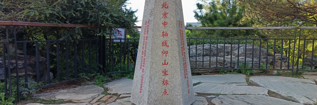
My final destination was Yangshan, a man-made hill in Olympic Forest Park. Built from excavation debris from the Olympic venues, Yangshan rises 48 meters above the surrounding plain. At its summit stands a 9-meter-tall stone monument inscribed with the Chinese characters for “Yangshan” (仰山).
The name “Yangshan” is a tribute to the Book of Changes (I Ching), which says: “Looking up, one sees the mountain; looking down, one sees the shadow.” It’s a fitting end to a journey that began with looking up at the Bell Tower and ended with looking down at the city below.
FAQ: Walking Beijing’s Northern Central Axis
Q: How long does the walk from Bell Tower to Yangshan take? A: The full walk is about 15 kilometers (9.3 miles) and takes 4–6 hours, depending on stops. Most people split it over two days.
Q: Is the route suitable for families with children? A: Yes. The route is mostly flat and paved, with plenty of parks and rest areas. The China Ethnic Museum and Olympic Green are especially kid-friendly.
Q: What is the best time of year to do this walk? A: Spring (April–May) and autumn (September–October) offer the most pleasant weather. Avoid summer heat and winter cold.
Q: Are there entrance fees for any of the attractions? A: Xihuang Temple (free on weekends), China Ethnic Museum (¥90), and Olympic Tower (¥120) have fees. The parks and streets are free.
Q: Can I do this walk in reverse (Yangshan to Bell Tower)? A: Absolutely. The route is symmetrical, and starting from Yangshan offers a downhill walk into the city.
Conclusion: Your Turn to Walk the Axis
Beijing’s Northern Central Axis is more than a road—it’s a living museum of China’s journey from imperial splendor to modern greatness. Whether you’re a history buff, a photography enthusiast, or simply a traveler seeking an authentic Beijing experience, this walk offers something for everyone.
Ready to explore? Start your journey at the Bell Tower, pack comfortable shoes, and bring a camera. The Northern Central Axis is waiting to tell you its story—one step at a time.
Plan your walk today. [Link: Beijing walking tour guides] [Link: Best time to visit Beijing]
You should also read:
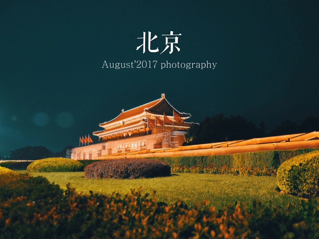
Beijing One-Day Tour: From Back to Field to Tiananmen Square – A Suburban Journey Through Time
Meta Description: Discover the ultimate Beijing one-day tour from the Back to Field filming location in Miyun to Tiananmen Square. Explore rural charm, Qianmen history, and iconic landmarks in this SEO-optimized travel guide. Beijing, an ancient capital bearing three thousand years of history, offers travelers…
Continue reading...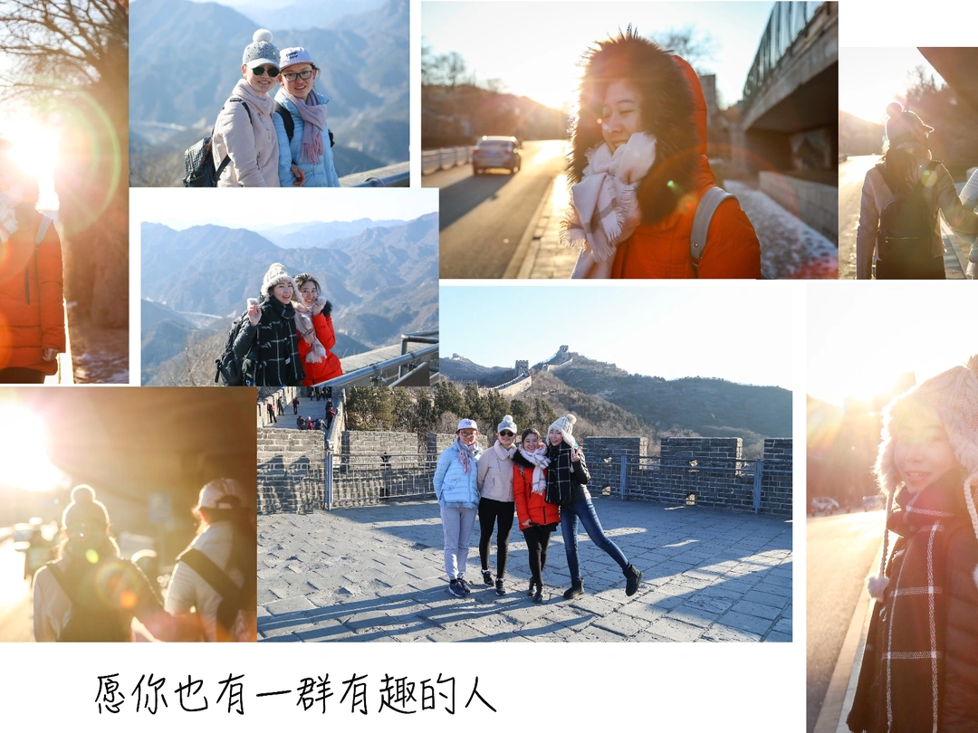
From Sunrise to Sunset: A Two-Day Journey Through Yanqing’s Hidden Gems – The Ultimate Travel Guide
Meta Description: Discover Yanqing’s hidden gems beyond the Great Wall. From Badaling sunrise to the S2 scenic train, Qinglongqiao Station, and a legendary tofu feast—plan your perfect two-day escape. There’s something magical about a trip that begins with a spur-of-the-moment decision. No elaborate planning, no…
Continue reading...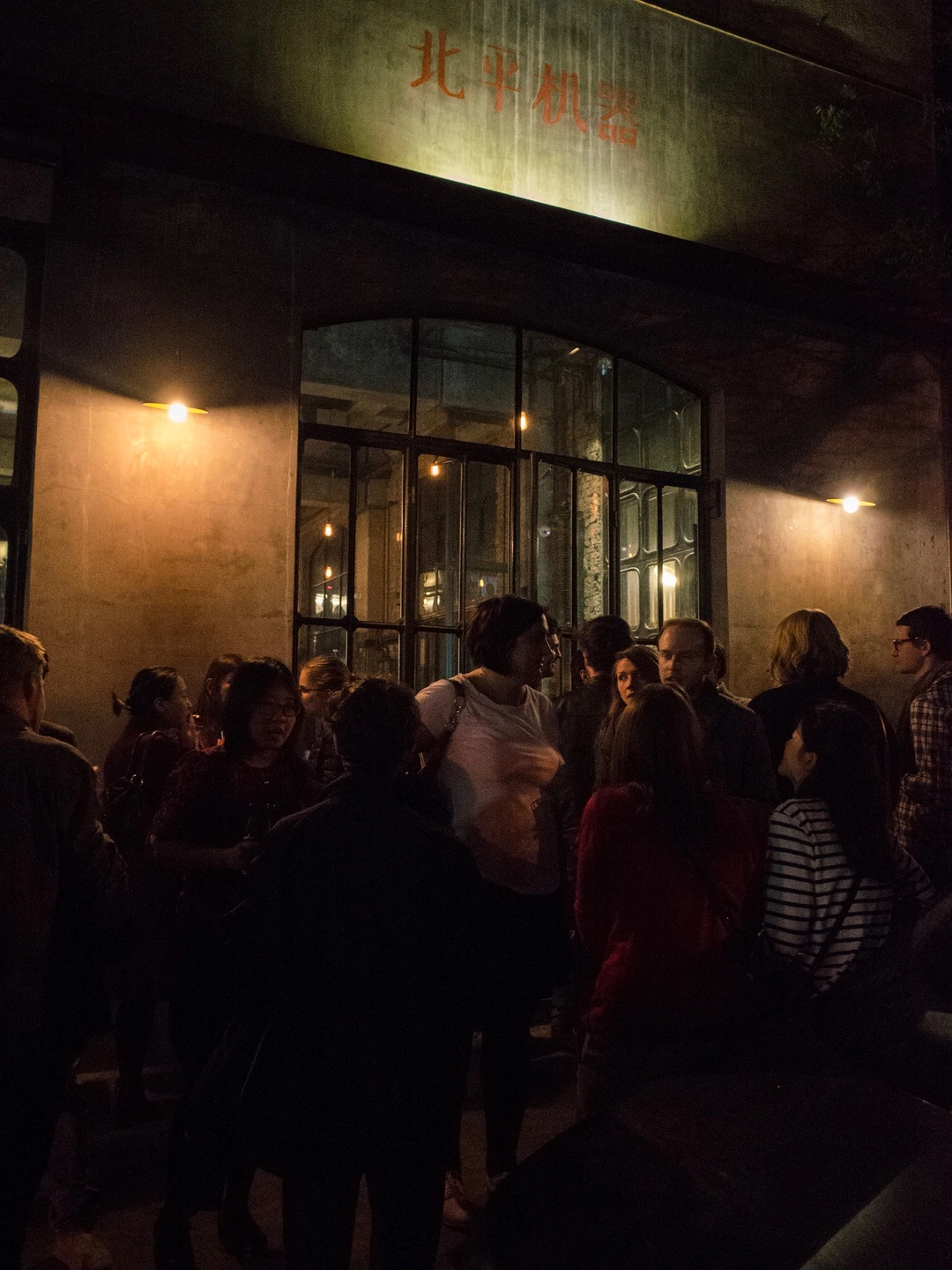
My Craft Beer Journey: Starting from Beijing – A Beginner’s Guide to China’s Craft Beer Scene
Meta Description: Discover how one IPA in Beijing sparked a craft beer obsession. From Slow Boat Brewery to hidden hutong bars, explore China’s best craft beers, tasting tips, and bar recommendations for beginners. My understanding of beer used to be summed up in one word:…
Continue reading...